Forest Machines
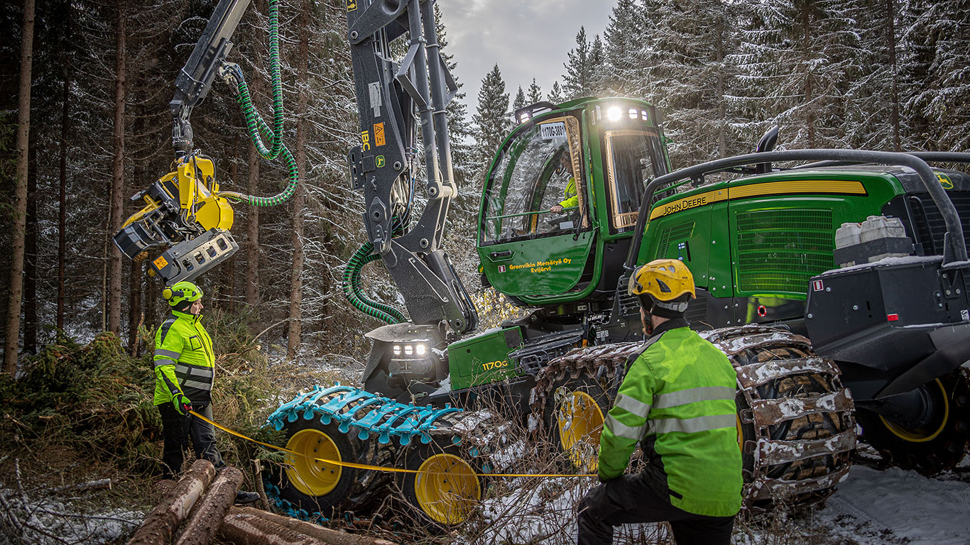
Machine delivery training ensures a reliable start for the customer
The arrival of a new forest machine at the logging site is always a big event. Whether it’s a customer’s first John Deere forest machine or the latest acquisition for a logging company that has long trusted the brand, a successful user experience and productive operation is ensured with John Deere’s delivery training expertise.
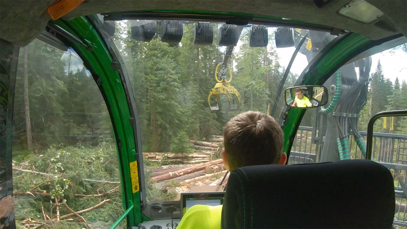
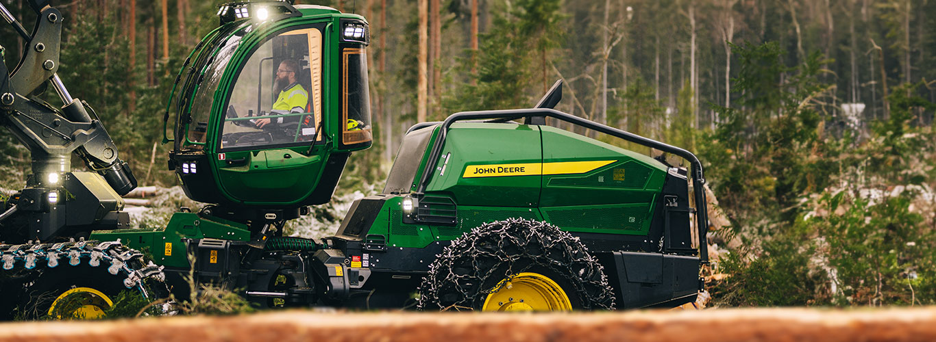
Leveling cabin increases work comfort
Cabin faces the work area and the automatic leveling function allows the operator to sit upright even when the machine is on uneven terrain.
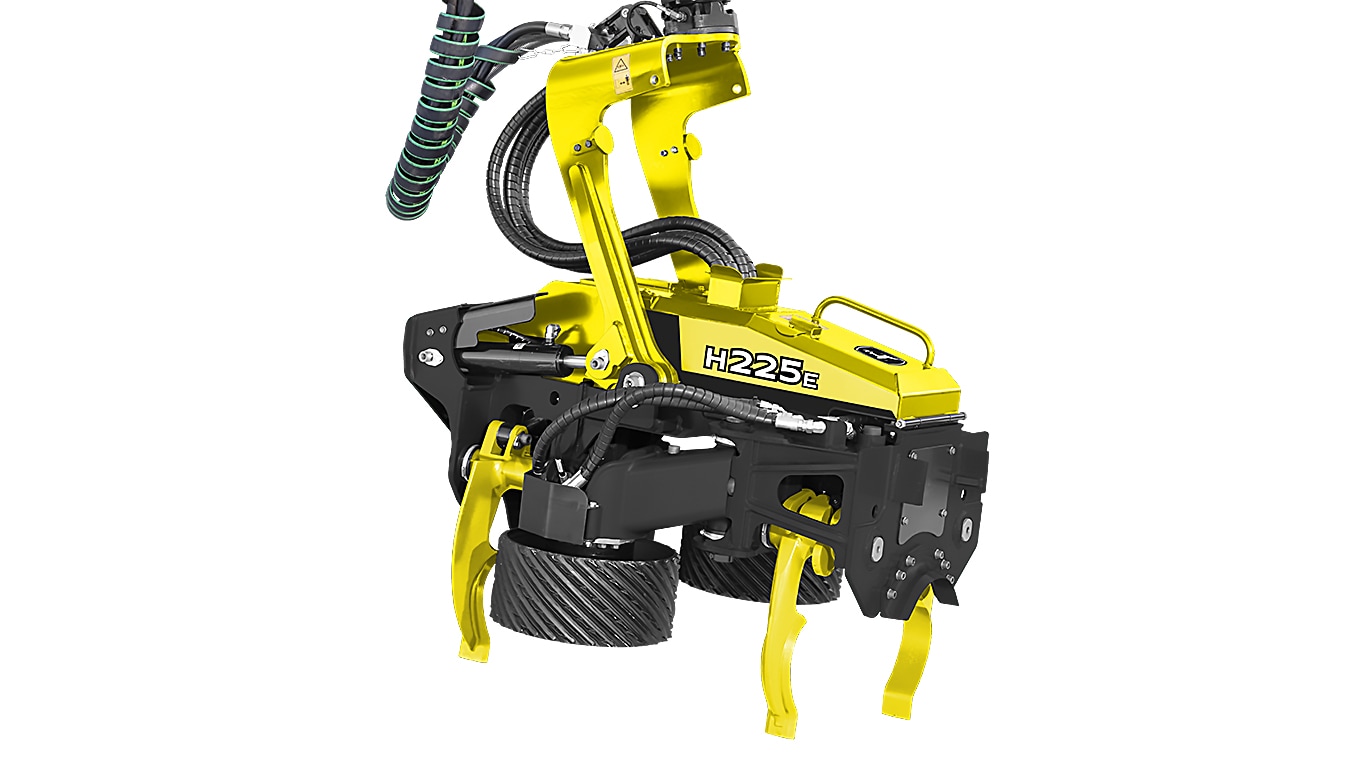
H225E for eucalyptus
The H225E is a powerful, single-pass, high-capacity new-generation harvester head purpose-built for eucalyptus debarking and designed for use on large wheel harvesters. It is the best single-pass eucalyptus debarking head.
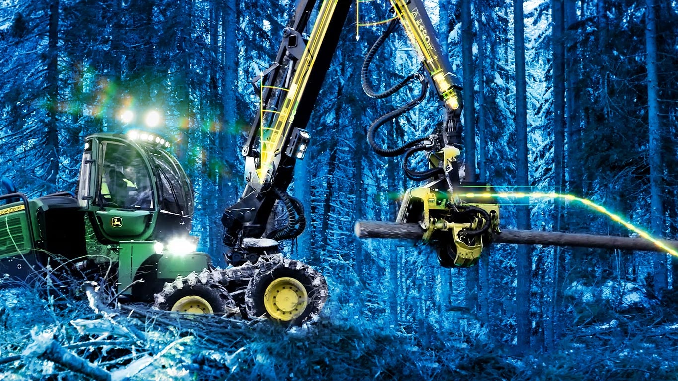
Intelligent Boom Control IBC
Operator steers the grapple and the boom follows automatically.
New L-III Skidders & Wheeled Feller Bunchers
Meet the all-new L-III Series Skidders and Wheeled Feller Bunchers. Power, precision, and productivity in the toughest forestry conditions.